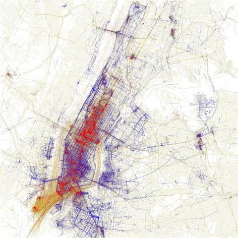
Locals and Tourists #2 (GTWA #1): New York
Blue pictures are by locals. Red pictures are by tourists. Yellow pictures might be by either.
Base map © OpenStreetMap, CC-BY-SA
Locals, tourists, and geotagged photos
Reply


Locals and Tourists #2 (GTWA #1): New York
Blue pictures are by locals. Red pictures are by tourists. Yellow pictures might be by either.
Base map © OpenStreetMap, CC-BY-SA
 Invisible Cities
A project by Christian Marc Schmidt & Liangjie Xia
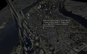
By revealing the social networks present within the urban environment, Invisible Cities describes a new kind of city—a city of the mind. It displays geocoded activity from online services such as Twitter and Flickr, both in real-time and in aggregate. Real-time activity is represented as individual nodes that appear whenever a message or image is posted. Aggregate activity is reflected in the underlying terrain: over time, the landscape warps as data is accrued, creating hills and valleys representing areas with high and low densities of data.