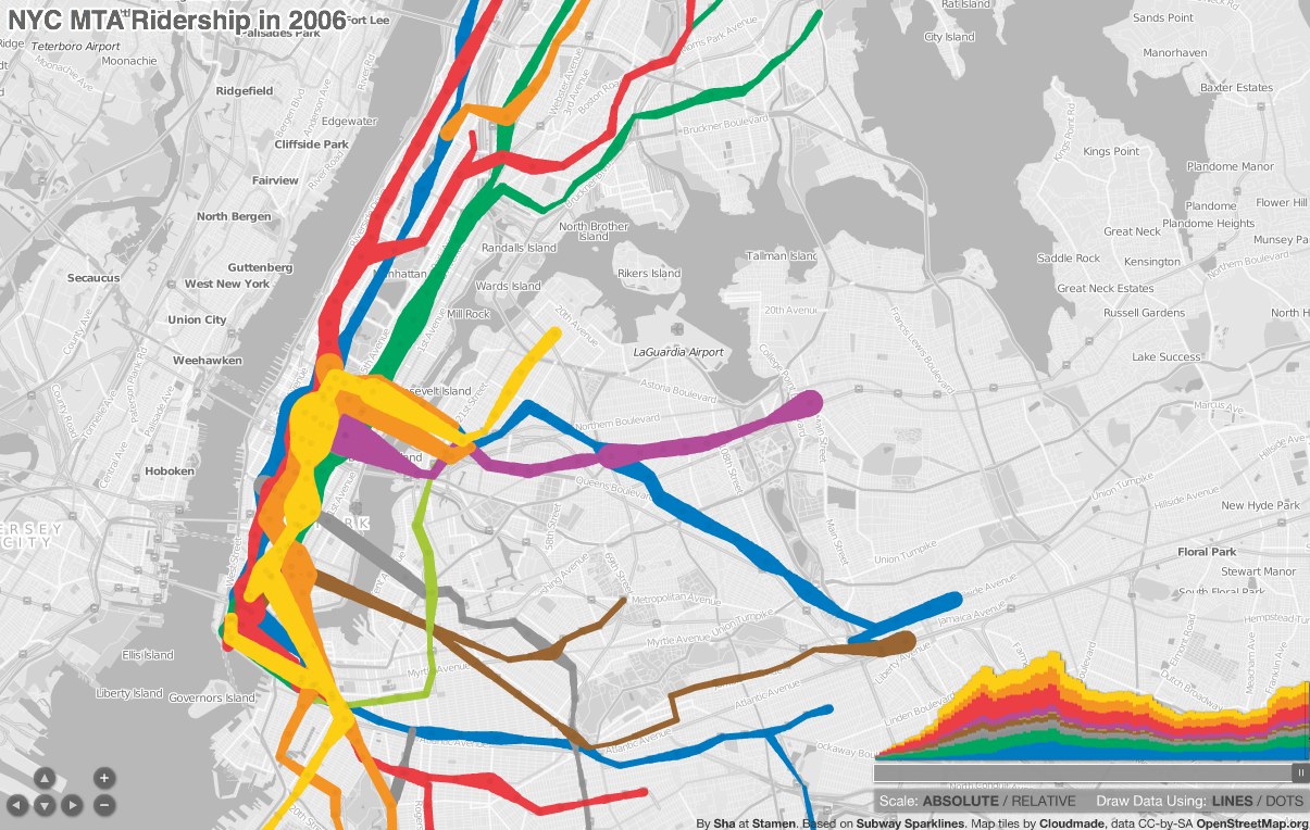
 A pretty amazing map-cum-timeline of subway ridership from 1905 to 2006, displays with either lines or dots, and allows you to scrub forward and back in time. Also check out his original blog post about making the map, and the underlying data that he got from the blog frumination (which is also pretty great, the blog of a grad student in transportation and operations research.)
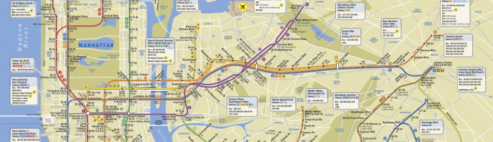
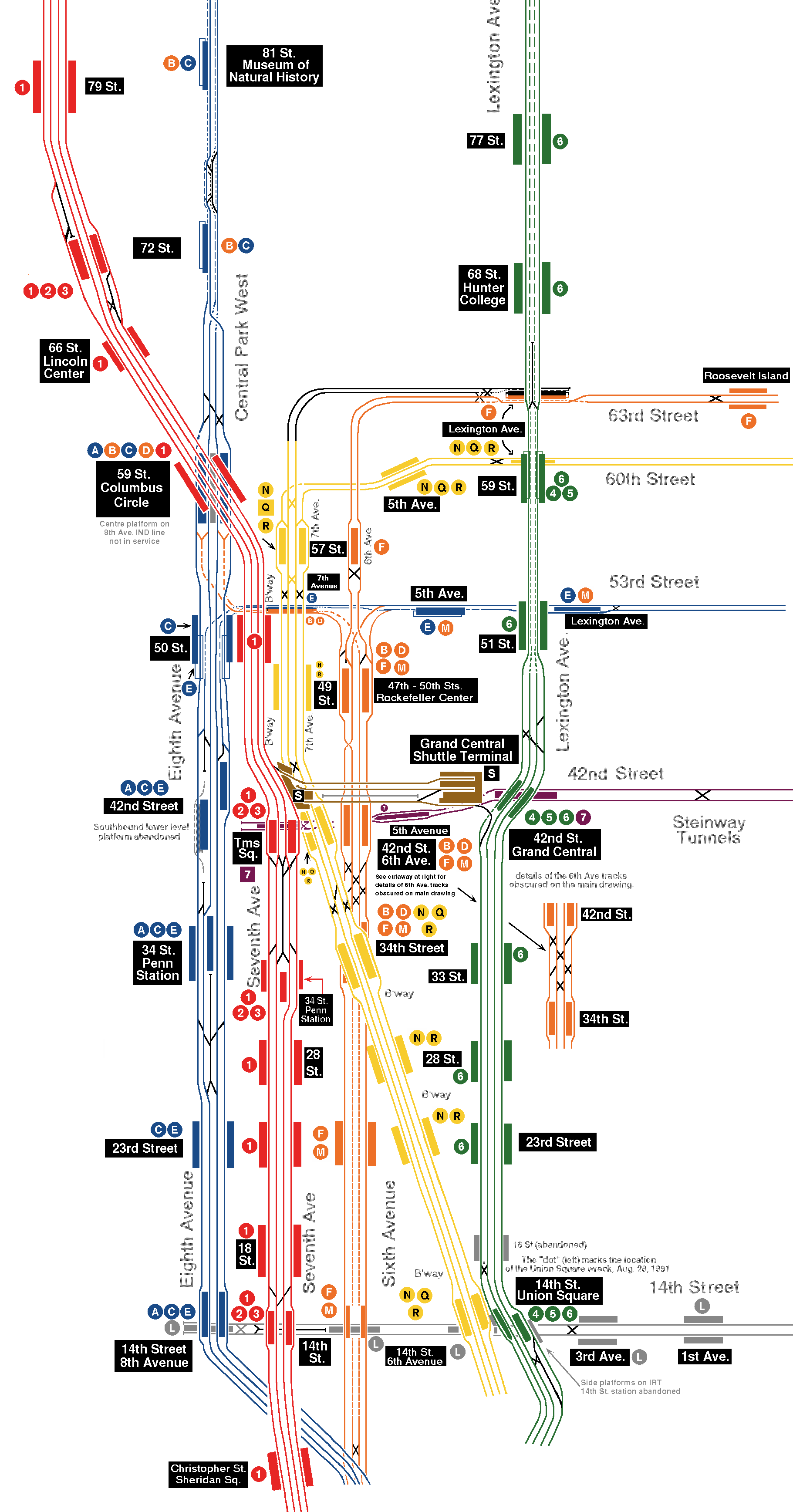 Also, a lovely archive of NYC subway track maps — distinct from the passenger maps of people who use the subway, these show every actual track, including old and unused. Different maps for different uses of the same system.