Climate Zangskar

By the People & For the People

WHERE Do We Work?

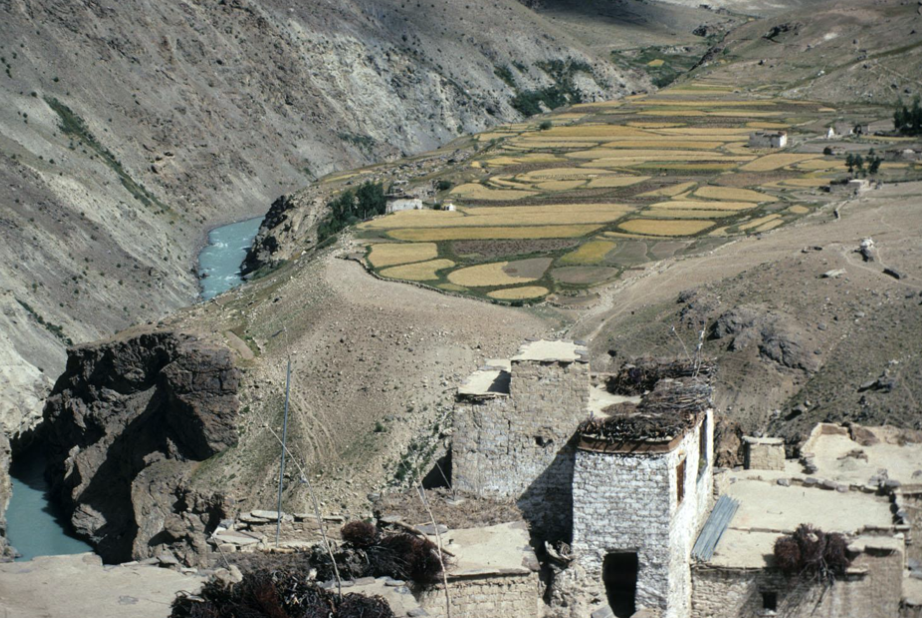
Climate Z is based in Zangskar, a subdistrict of Ladakh Union Territory (UT), that lies within the upper Indus Valley basin of the  Hindu Kush Himalaya (KHK) region.  Straddling the Indian Himalaya, Zangskar is a high-altitude desert region with year-round aridity and annual precipitation less than 110 mm––often as snowfall.
 

Screen Shot 2020-07-19 at 6.12.26 PM
Scree Slopes

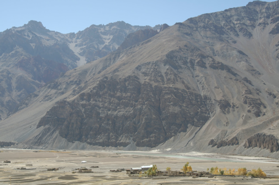
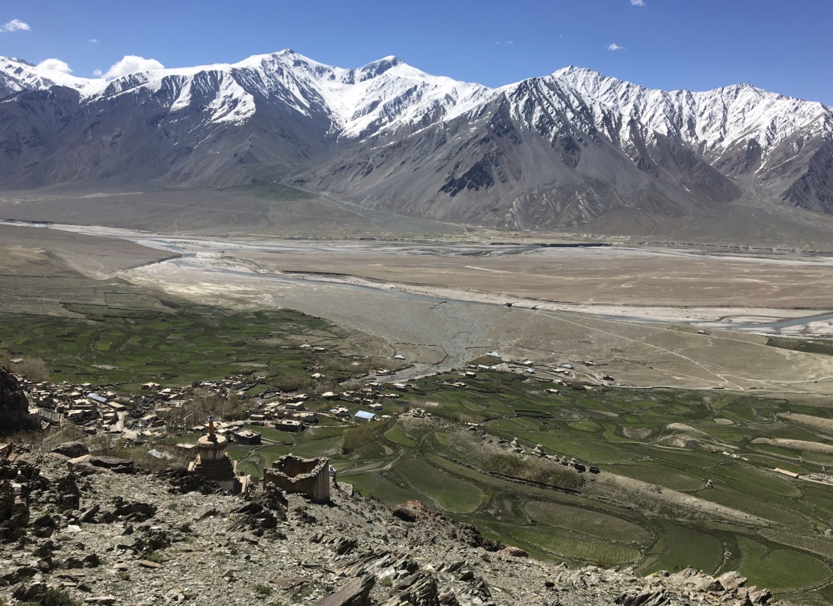
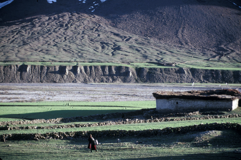
With most of the landscape consisting of rock faces, scree slopes, snowfields, and glaciers, less than 1% of the region’s 7000 square kilometers are cultivated and inhabited. Most villages lie far up alluvial fans and are irrigated by small tributary streams.


Zangskar comprises three valleys––Stod, Lungnag, and Sham that converge to form the central Gzhung Skor valley. Click on the valley names to learn more!
Stod (3545 m - 4400 m), a glaciated river valley that descends from the  Pensi La pass (4400 m)  serves as the only current road access from Zangskar (open April-October) to the outside world and Kargil, the other subdistrict capital.

Stod (3545-4400 meters)


A glaciated valley lying along the Stod River that descends from the Pensi La pass (4400 m), which is also home to the only road linking Zangskar and the rest of Kargil district.

Screen Shot 2020-07-20 at 3.05.55 PM

Lungnag (3545-5091 meters)


Lies along the deep gorge formed by the Tsarap river after it joins the Kargyag river, which flows northeast from a widely glaciated valley below the Shingo La pass (5091 m). A dirt road along the Lungnag gorge and over the Shingo La to Darcha in the neighboring state of Himachal Pradesh was completed in 2019.

Screen Shot 2020-07-20 at 3.12.31 PM

Sham (3532-3713 meters)


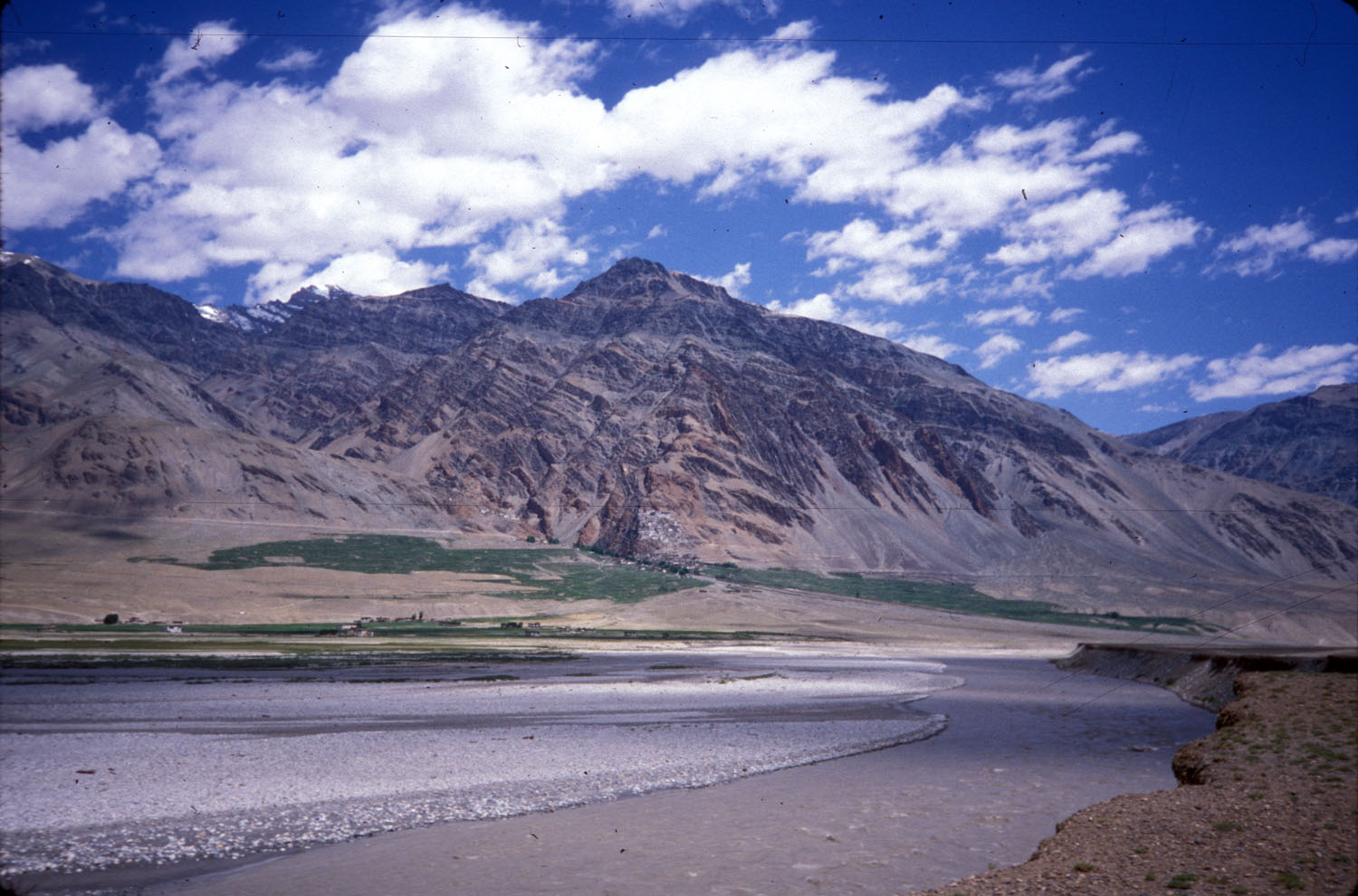
An arid river valley that runs along the Zangskar river before the formidable Zangskar gorge. A road along the Zangskar river gorge to Leh district has been under construction for 35 years.

Gzhung Skor-urban

Gzhung Skor (3400-3800 meters)


The densely populated central valley bottom formed by the confluence of the Tsarap and Stod rivers, and home to Zangskar’s capitol, Padum, and its oldest settlements.

Where do we work?

Click on Text for Three Kinds of Maps


Find out ways to be involved with us! Climate Z received a National Geographic Award for fieldwork to begin in 2021...