By Siobhan Harrity
My hometown of Orono, Maine is located in Penobscot County. I grew up gardening, and there is not a whole lot to do in the entire state of Maine except mess around outside, so I’ve been intimately acquainted with my local soil and rocks for years. However, I didn’t know much about where it had come from. Some digging around of a less literal kind turned up the following information.
The local bedrock is called the Vassalboro Formation, which is predominantly a bluish gray sandstone of Silurian-Ordovician age, or approximately 450 million years old (USGS). The rock has been deformed to varying degrees by several different tectonic events. Orono is located in the Norumbega fault zone. The Norumbega fault is a (now inactive) strike-slip fault, meaning that two different pieces of crust used to move past each other horizontally. It also marks the boundary between the Gander and Avalon terranes, two different, formerly discrete chunks of continental crust (Ludman 413). The fault can be traced from New Brunswick as far south as Connecticut (Caldwell 26), and it divides two regions with markedly different rock types. The Gander terrane, on which Orono sits, is made up of Silurian and Devonian mud and sandstones, whereas the Avalon terrane is composed of sedimentary rocks of varying ages and igneous granite plutons, or pockets of rock that formed when magma cooled at the surface (Caldwell figure 24). The Gander terrane can also be found in various locations in Africa, including Morocco. Rifting in the supercontinent Gondwana caused a fragment to break away, and it was carried across the ocean until it collided with the proto-North American continent (called Laurentia) during the Early Silurian. Any time two pieces of continental crust collide, mountains form. This type of event is called an orogeny, and this event in particular is called the Salinic (Miall and Blakely 6) or the Penobscot (Caldwell) Orogeny. During the Acadian Orogeny in the Devonian period, the last of the dense crust of the Iapetus Ocean floor was subducted into the mantle. This brought the Avalon terrane into contact with Laurentia just to the east of where Orono is today (Caldwell 9).
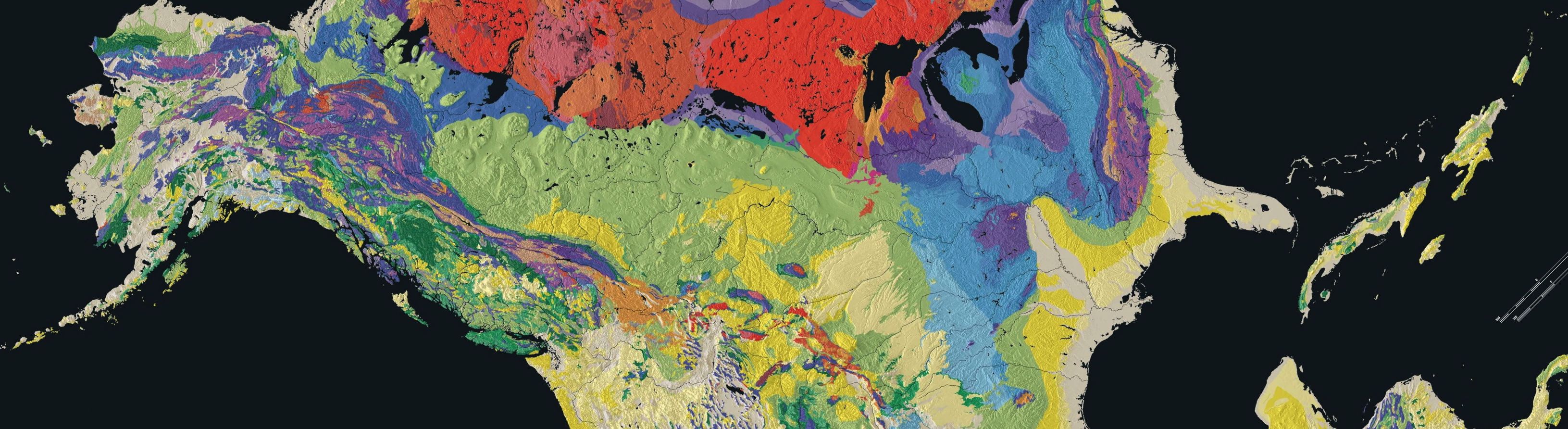
(Map of Surface geology)
The supercontinent Pangea was completed when the ancestral African continent collided with Laurentia in the Alleghenian Orogeny approximately 260 million years ago (Caldwell 11). Maine was located in the middle of the supercontinent, south of its present-day latitude and rotated about 90 degrees from its present orientation (Miall and Blakely 6). There is no geologic record from the Permian period in Maine, and the only pieces of evidence of the break-up of Pangea are scattered igneous complexes, including many basalt dikes along the coast, which formed as magma bubbled up through the thinning crust (Caldwell 12).
The next evidence we have of what was going on in Orono comes from millions of years later, during the most recent ice-age. The planet entered a period of increased glaciation approximately 200 thousand years ago. The most recent glacier left lots of evidence of its existence and movement throughout Maine, but effectively erased all evidence of the glacial episodes that preceded it. This glaciation began 40 thousand years ago and during the maximum, between 18 and 15 thousand years ago, the state was under more than a mile of ice and the sea level was as much as 400 feet lower than it is currently (Kendall 38). The glacier retreated fairly rapidly— by 13,000 years ago, Orono was no longer under ice, and a mere one thousand years later, the entire state was glacier-free (Kendall 40). The land had been depressed by the massive ice sheet, and as the glacier retreated, the sea moved inland. For several thousand years, much of central Maine was underwater. There are very few outcroppings of bedrock in Orono. Instead, if you dig a hole in the ground, what you will see is marine clay that was deposited in the post-glacial years. This is known as the Presumpscot Formation (see Figure 1). Near the surface, the clay is brownish due to weathering and exposure to oxygen. As you dig deeper and approach the water table, the clay becomes a bluish-gray color. This sediment is anoxic, and preserves fossils of marine organisms.
The clay is dense, fine, and not very porous, so it holds water quite well. This allowed for the creation of the Orono bog in a basin on the town’s southern border with Bangor. The bog formed approximately 11 thousand years ago during a particularly wet period. The sediments became waterlogged, and wetland plants were the only ones to survive and thrive in the basin. Thousands of years’ worth of these plants died but failed to decompose in the acidic, anoxic conditions of the bog, creating thick layers of peat (oronobogwalk.org)
The best things about Orono are the rivers. My friends and I spent most of the summer swimming, canoeing, and fishing in them. Part of the town, including the street where I live, is located on Marsh Island. The island is formed by the Penobscot River splitting to the north and then unifying once more at the southern end. The branch that forms the western boundary of Marsh Island is called the Stillwater River. The river banks are fairly steep, and at some locations there are distinctive terrace formations. According to Dr. Joe Kelley of the University of Maine, these are ancient shorelines, and they record the incremental changes in sea level as the land rebounded after the retreat of the ice sheet.
Maine is known for its natural beauty. You’re never far away from some stunning mountain or section of coastline, but in this case, I didn’t even have to venture outside my town. From the boulders in the woods where I played with my friends, to the marine clay in our garden that we combat every year with compost and sand, there is evidence of Earth’s history everywhere in Orono.
Bibliography
Caldwell, D.W. Roadside Geology of Maine. Missoula, Montana: Mountain Press, 1998.
Guidotti, Charles V. “Studies in Maine Geology.” Studies in Maine Geology. Vol. 3: Igneous and Metamorphic Geology. (1989): 1-17.
Kendall, David L. Glaciers & Granite: A Guide to Maine’s Landscape and Geology. Camden, Maine: Down East Books, 1987.
Ludman, Allan. 1986. Timing of Terrane Accretion in Eastern and Central Maine. Geology, 14, 411-414.
Miall, Andrew D., and Ronald C. Blakely. “Phanerozioc Tectonic and Sedimentary Evolution of North America.” Trans. Array The Sedimentary Basins of the United States and Canada. Andrew D. Miall and K.J. Hsu. 1st. Amsterdam: Elsevier, 2008.
Nance, Damlan R. Precambrian Evolution of the Avalon Terrane in the Northern Appalachians: A Review. Marine Sediments and Atlantic Geology, December 1986, Vol. 22, No. 3. 214-231.
Stewart, D.B. “Maritime Sediments and Atlantic Geology.” Maritime Sediments and Atlantic Geology. 22. (1986): 206-207.
Surficial Geology Quadrangle Maps and Reports, Scale 1:24000. Old Town Quadrangle, maine.gov
Oronobogwalk.org