 David Dethier is a geologist with expertise in chemical weathering and soils and related surface processes, Quaternary dating techniques, and the impacts of geologic processes on human activities. He received his A.B. in Earth Sciences from Dartmouth College in 1972 and then M.S. and Ph.D, in Geological Sciences, from the University of Washington in 1977. Dethier worked as a project geologist for the U.S. Geological Survey in Seattle, Washington, and as a staff member at Los Alamos National Laboratory before coming to Williams College in 1982. He serves as the Edward Brust Professor of Geology and Mineralogy and teaches classes in Geosciences and in Environmental Sciences at Williams.
Research

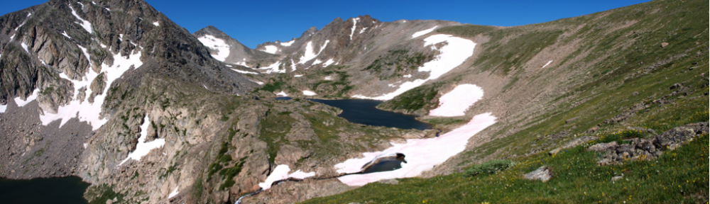
My research focuses on analyzing processes that shape the surface of the earth and dating techniques that allow geoscientists to estimate the rates of processes such as weathering and soil formation, hillslope evolution and sediment transport. Since 1998 I have worked with students and colleagues mainly on studies of the critical zone in the Front Range of Colorado west of Boulder, supported by NSF and the Petroleum Research Fund. I have also studied sediment transport, glacial deposits and groundwater in Hopkins Memorial Forest and adjacent areas of Massachusetts and Vermont.
 I work with the Center for Environmental Studies to help coordinate ongoing collection of weather, streamflow, precipitation chemistry and other environmental data from Hopkins Memorial Forest and their analysis in the Environmental Science Lab in the Morley Science Center. Real-time weather and groundwater data and archived weather data from 27 years of monitoring are available at http://oit.williams.edu/weather/; archived watershed data (streamflow and temperature, stream chemistry and bulk precipitation chemistry) are at: http://oit.williams.edu/weather/watershed/.
Teaching
My teaching is concerned with environmental geoscience and examines the interaction of surficial processes and human activities on local to global scales. My classes and labs emphasize both field and remote studies of geologic hazards that range from soil loss to flooding to the effects of global warming. I regularly teach:
- Global warming and earth disasters (Geos. 103)
- Geomorphology (Geos. 201)
- Renewable Energy and the Sustainable Campus (Geos. 206)
- Remote Sensing and Geographic Information Systems (Geos. 214)
- and all courses cross-listed in Environmental Studies, and I frequently contribute to Introduction to Environmental Science.